Drone Intelligence Reimagined
Precision Orthomosaics & 3D Models
High-accuracy aerial mapping for construction, infrastructure, and land development. Using RTK/GNSS-enabled UAVs, we deliver orthomosaics, contour maps, and 3D terrain models with centimeter-level precision to support planning, design, and volume calculations.
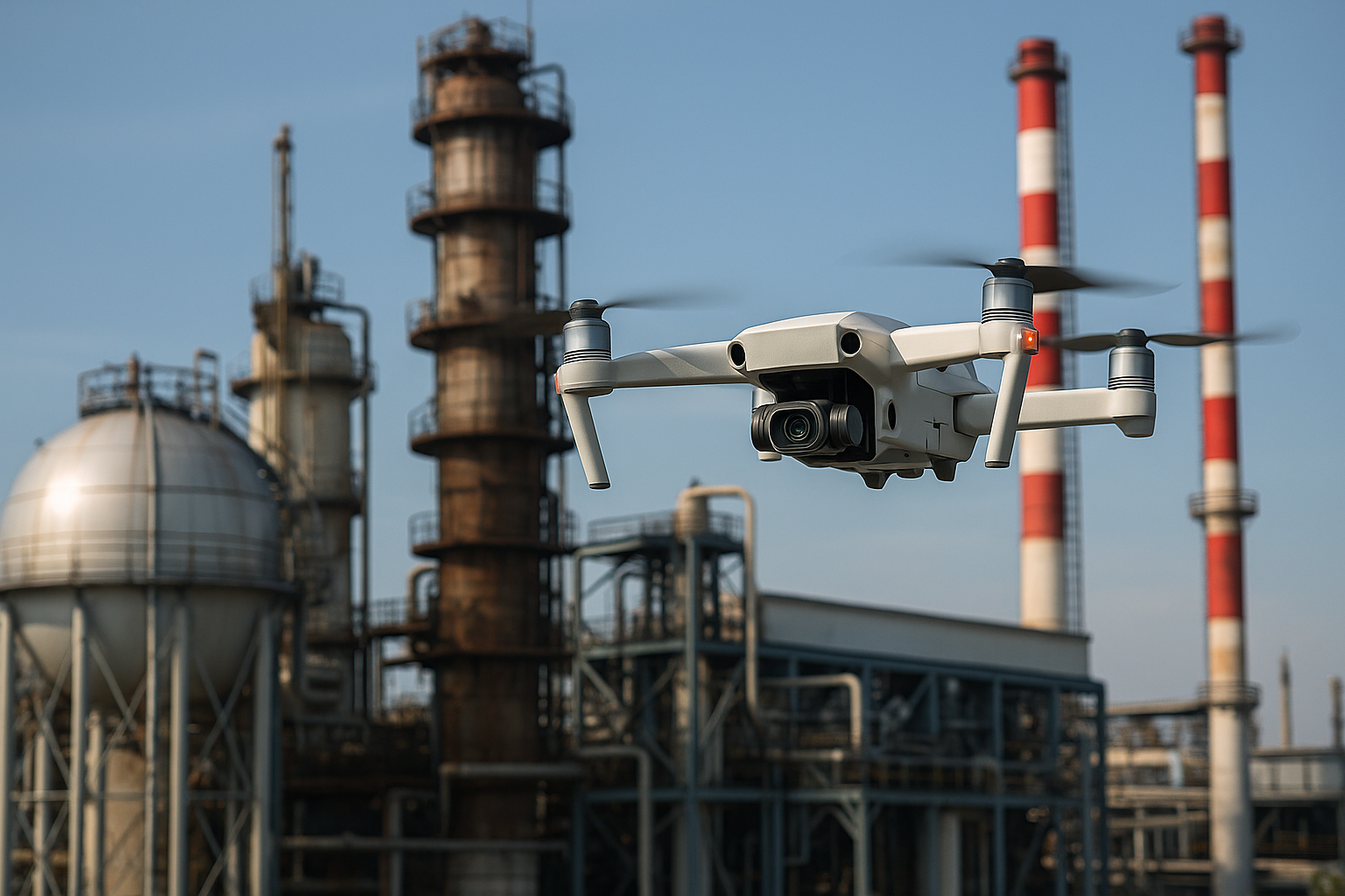
Inspection
Safe, cost-effective inspection of hard-to-reach assets, including rooftops, towers, bridges, and industrial sites. We capture high-resolution imagery and video to detect defects, track maintenance needs, and reduce costly downtime without risking personnel.
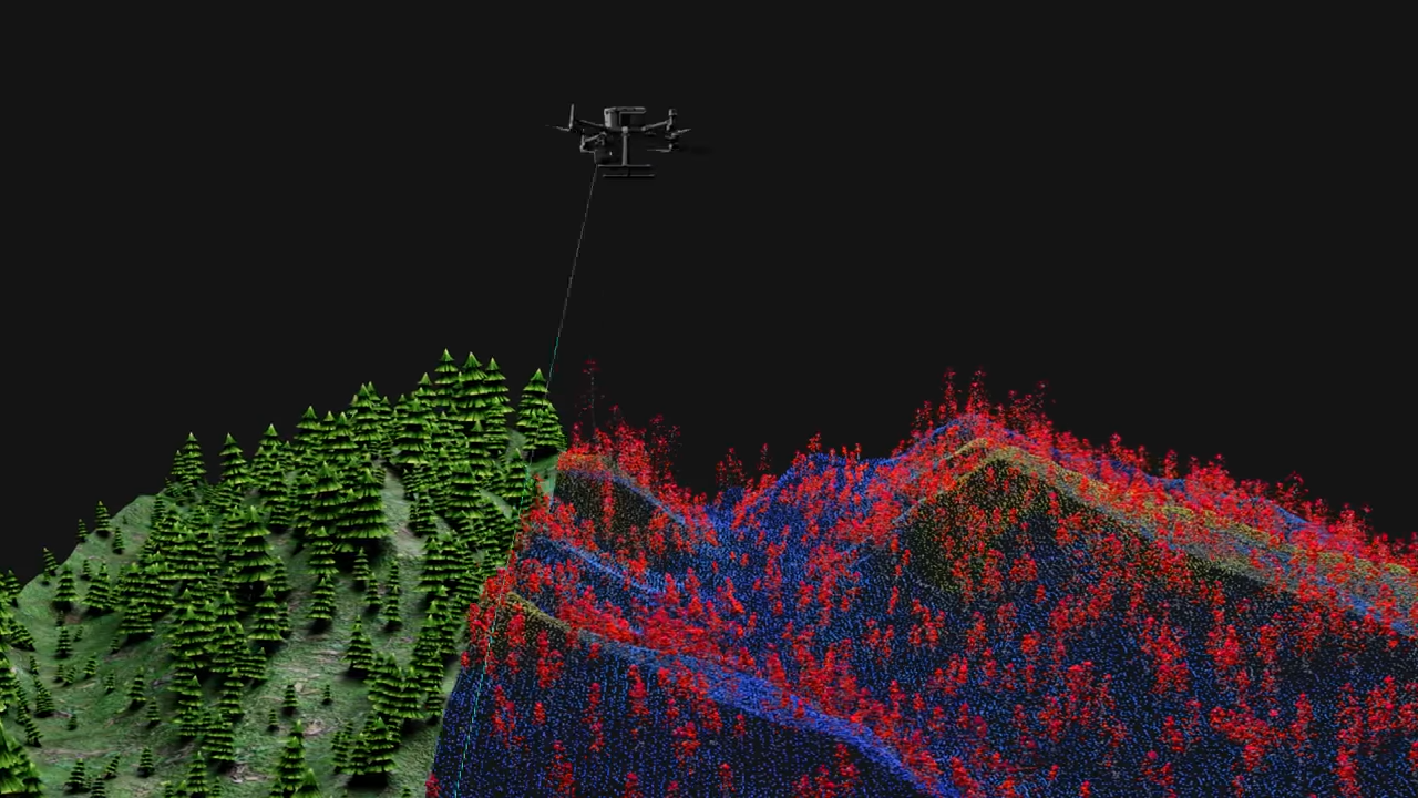
LiDAR Point Cloud Mapping
Capture ultra-detailed 3D representations of terrain, structures, and vegetation with high-precision LiDAR technology. Our UAV-mounted LiDAR systems generate dense point clouds for engineering, surveying, and infrastructure projects—enabling accurate volume calculations, topographic models, and advanced design integration.
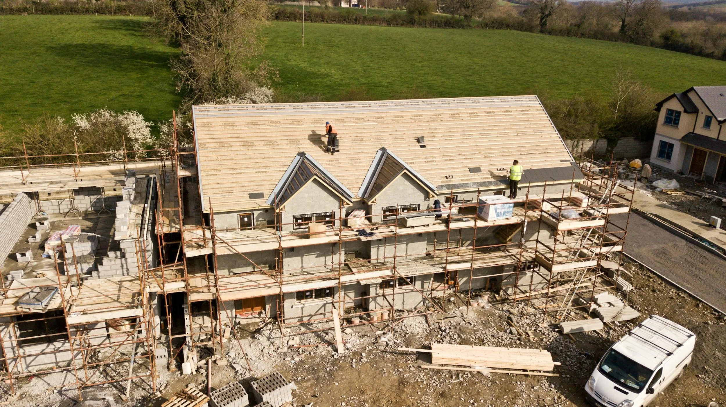
Progress Capture
Accurate Visual Records for Every Stage
Track your project’s evolution with scheduled aerial progress captures. Using UAVs equipped with high-resolution cameras and mapping technology, we document construction sites, infrastructure builds, and land developments from consistent angles and elevations. Our deliverables include dated imagery, time-lapse sequences, and comparative overlays—giving project managers, stakeholders, and investors clear visual proof of milestones, timelines, and quality.
Thermal Imaging
Heat Signature & Energy Loss Detection
Advanced aerial thermography to identify heat leaks, moisture intrusion, electrical faults, and equipment anomalies. Perfect for building diagnostics, solar panel inspections, and infrastructure condition monitoring.
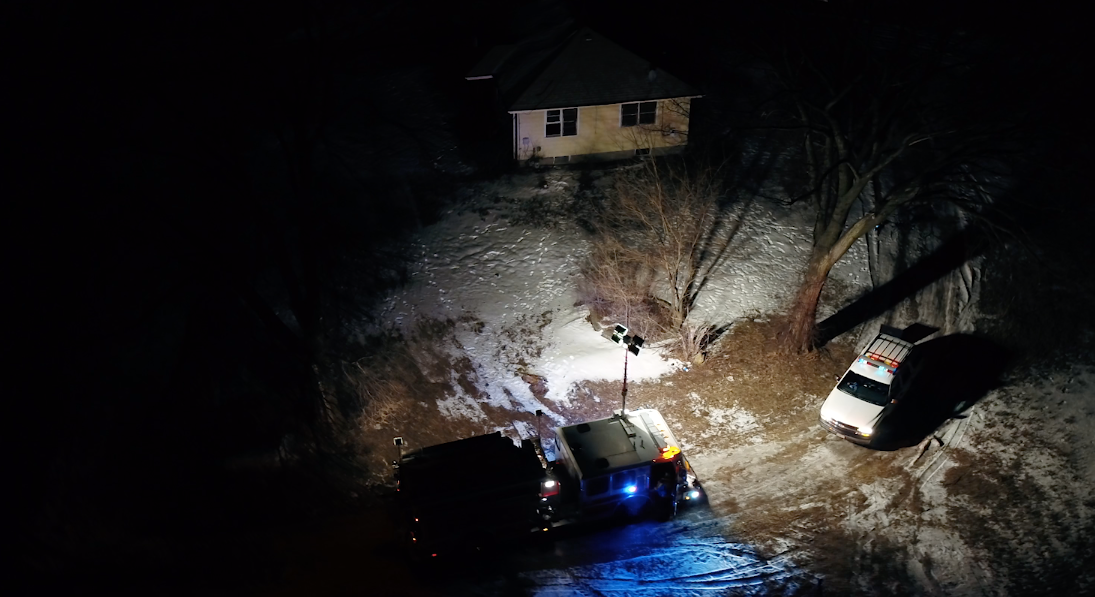
Search & Rescue
Rapid Aerial Response for Emergencies
Deployable UAV operations for missing persons, disaster zones, or hazardous environments. Equipped with thermal and zoom capabilities, we assist emergency teams with fast, wide-area searches, day or night.


