
Progress Capture
At Elev8 Visions, we provide precise aerial documentation of project progress so you can stay on schedule, resolve disputes, and communicate clearly with your stakeholders. Our drone-based progress capture solutions deliver high-resolution visuals and measurable data that replace guesswork with confidence.
-
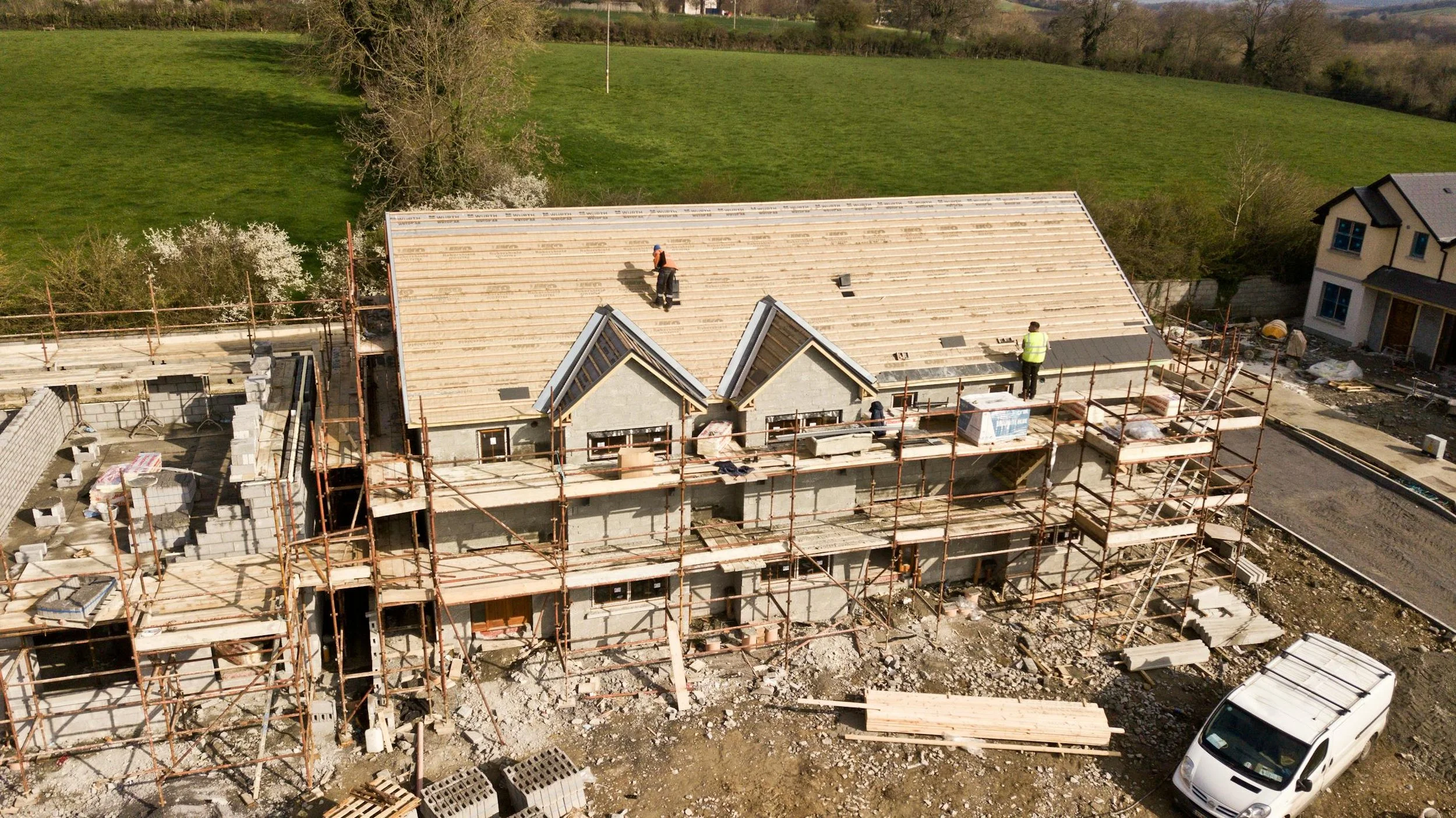
Aerial Progress Monitoring
Routine drone flights capture site conditions from the same vantage points over time.
Document work completed at weekly, bi-weekly, or monthly intervals
Provide consistent visual records for stakeholders, investors, and clients
Reduce site visits with shareable digital deliverables
Track safety compliance and identify potential delays early
-
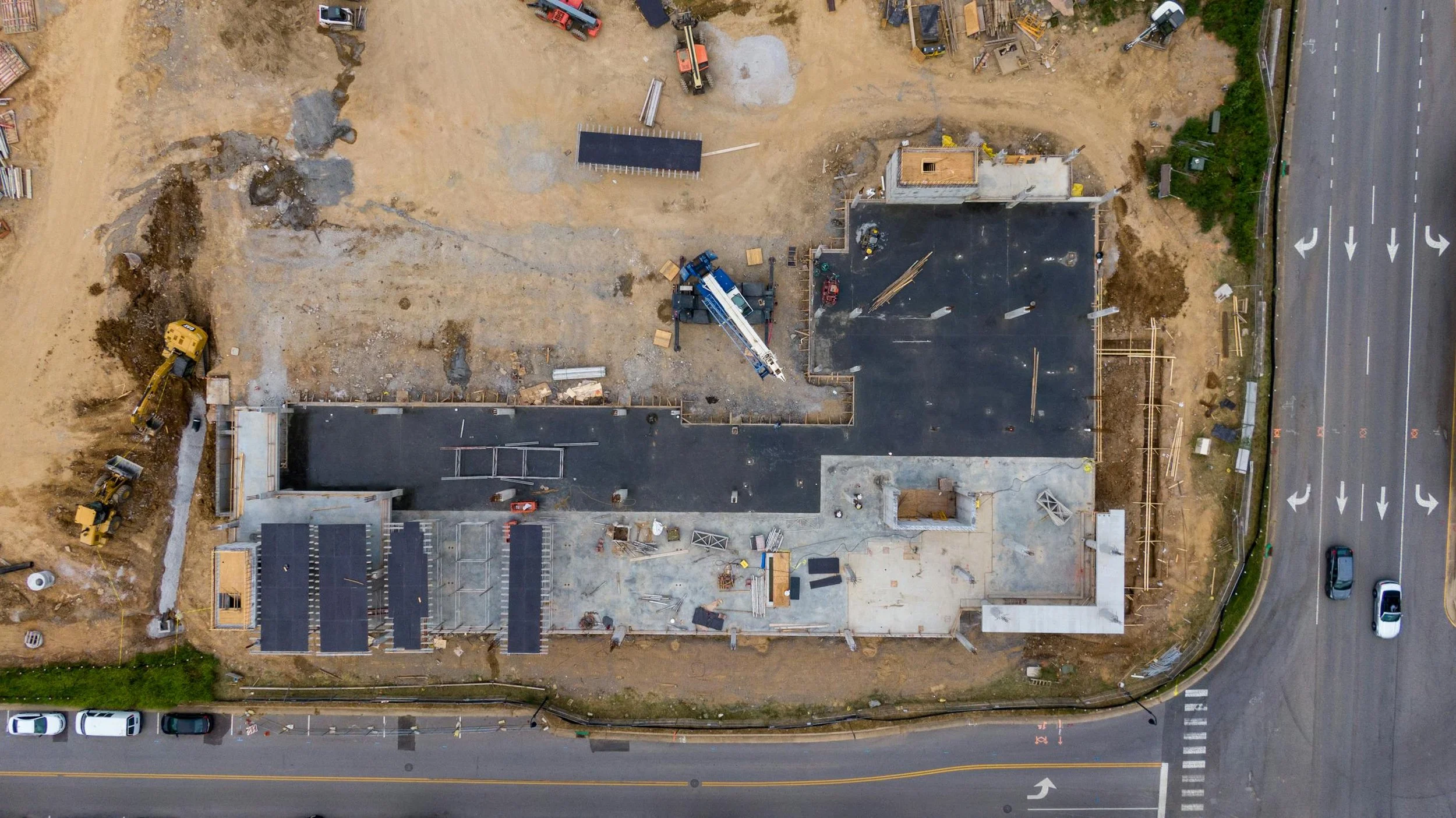
2D & 3D Progress Data
Beyond photos, we deliver measurable datasets to track how your site evolves.
Create updated orthomosaic maps to visualize entire sites at once
Compare 3D models over time to measure true progress
Detect changes in terrain, grading, or infrastructure
Generate time-lapse visualizations to show development milestones
-
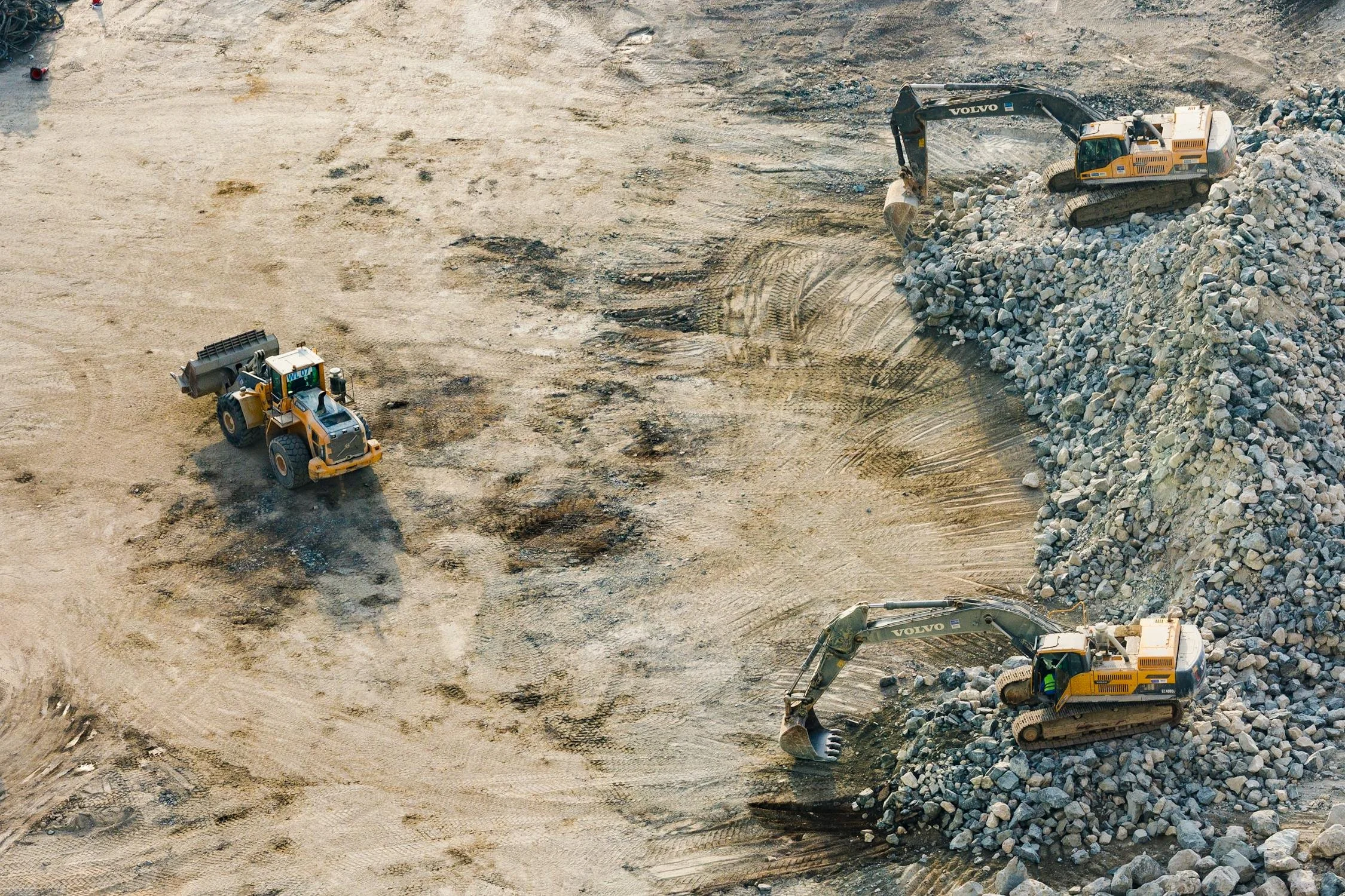
Volume & Earthworks Tracking
For industries like construction and mining, progress capture means more than photos.
Accurately measure cut-and-fill volumes over time
Monitor stockpile movement and material usage
Support billing and resource management with defensible data
Identify discrepancies before they become costly issues
-

Stakeholder Communication
Progress capture data isn’t just for engineers — it’s a powerful communication tool.
Provide clear reports for clients, executives, or project managers
Strengthen transparency and trust with visual documentation
Create marketing-ready visuals to showcase milestones
Easily share data through cloud platforms and secure links
Why Choose Elev8 Visions for Progress Capture?
Repeatable workflows – Same flight paths and camera angles for consistent results
Survey-grade accuracy – Progress tracking backed by RTK, GCPs, and checkpoints
Faster reporting – Deliverables processed and delivered within days, not weeks
Scalable solutions – From single sites to multi-phase developments
