
Rail Industry Solutions
At Elev8 Visions, we support railway operators, contractors, and engineers with advanced aerial data solutions that improve safety, reduce downtime, and deliver survey-grade accuracy across rail corridors and infrastructure. With experience in transportation and a deep understanding of rail operations, we provide specialized drone services tailored to the challenges of the rail industry.
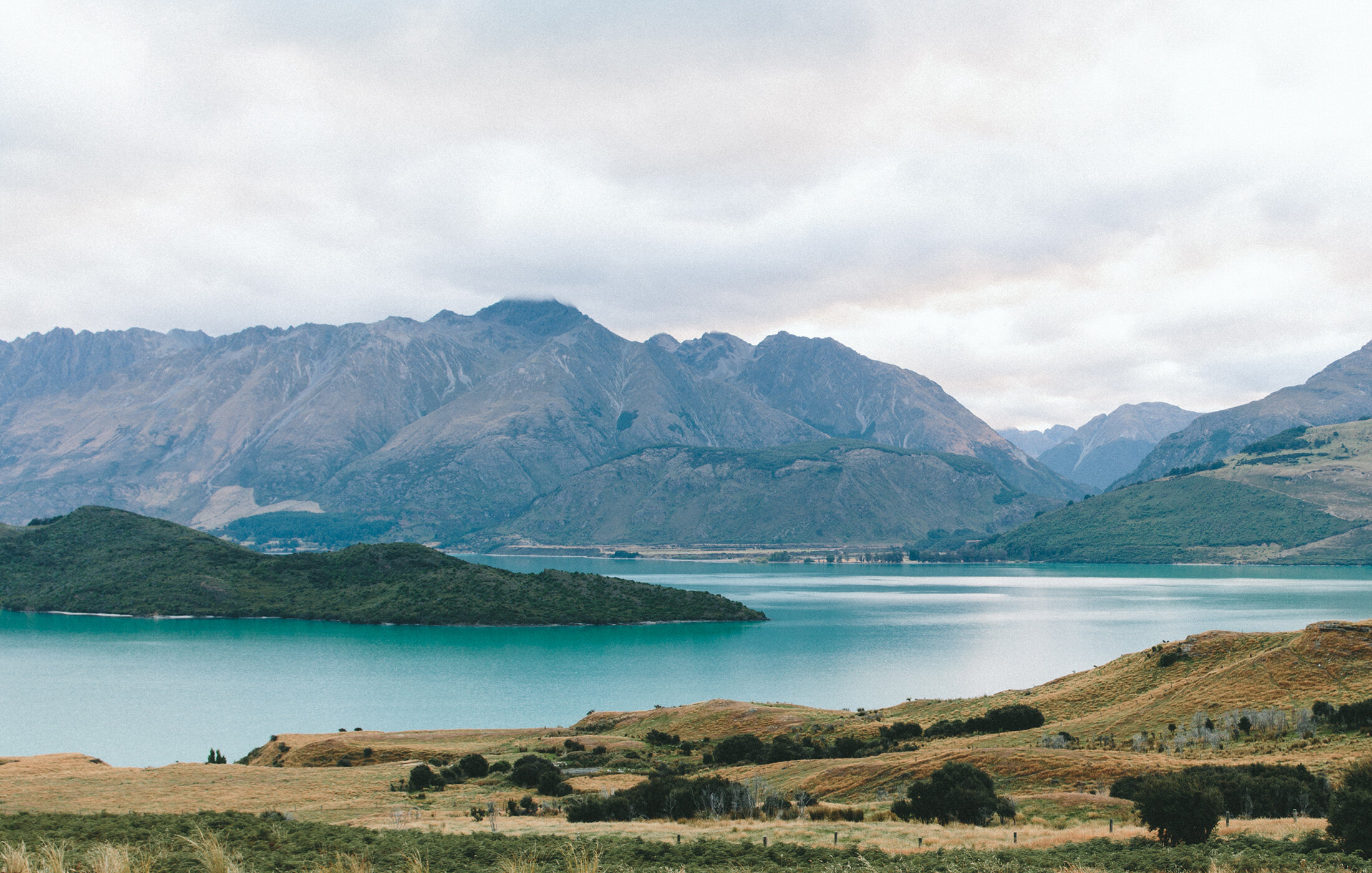
Rail Corridor Mapping
Maintain clear visibility across entire rail networks.
Generate 2D orthomosaics and 3D models of tracks and right-of-ways
Monitor corridor conditions, encroachment, and drainage issues
Support expansion, rehabilitation, and long-term planning projects
Integrate GIS-ready data for engineers and asset managers
Bridge & Structural Inspections
Safely inspect critical rail structures without disrupting service.
Capture high-resolution imagery of bridges, culverts, and tunnels
Detect cracks, corrosion, and structural wear
Minimize lane or track closures by reducing manual inspections
Use thermal imaging to identify moisture and hidden structural issues
Track & Embankment Monitoring
Early detection of ground movement and drainage issues prevents costly failures.
Monitor embankment stability and slope integrity
Detect erosion, water pooling, and washout risks
Support preventative maintenance with repeatable aerial surveys
Provide measurable data for compliance and safety audits
Progress Capture for Rail Projects
Document construction, rehabilitation, or expansion with clear aerial records.
Routine drone flights at set intervals for consistent progress tracking
Generate time-lapse visuals for stakeholders and project teams
Support contract verification and compliance with defensible data
Reduce site visits with easy-to-share digital deliverables
Remote Operations Capability
Rail corridors often extend into remote or hard-to-access areas — we’re equipped to handle them.
Off-grid capability with solar and battery systems
Real-time data transfer with Starlink satellite connectivity
Operate continuously for up to 72 hours without returning to base
Ideal for long stretches of track in isolated environments
Why Elev8 Visions for Rail?
Deep industry knowledge – Hands-on experience in transportation and rail operations
Survey-grade accuracy – RTK, GCPs, and proven workflows
Safety first – Reduce worker exposure along active tracks and hazardous areas
Faster data turnaround – Insights delivered within days, not weeks
